
 Becker Hollow Trail is the shortest, steepest, and most challenging ascent to the summit of Hunter Mountain in the Northern Catskills. 2.2 miles covers 2,210' of elevation gain.
 A fire tower waits next to a cabin in a clearing on the top with 360 degree views of the surrounding landscape. Hunter Mountain is an hour south of Albany. I was on the road by 5am and most of the drive was in the dark. Loud music, windows down, and sugary coffee shook me out of my 4 hours of sleep.
  I arrived at the trailhead off Rt. 214 around 6:30 as the sun was coming up. Sticky air, warm sun, and a constant incline made for an uncharacteristically balmy September hike. I carried a daypack with first aid, 2 liters of water, knife, map and compass. I didn't know what to expect, so overpacked a bit. Next time I'd wear running shorts, trail runners, carry a bottle of water and race to the top as fast and stripped as possible.
 Hunter Mountain is an hour south of Albany. I was on the road by 5am and most of the drive was in the dark. Loud music, windows down, and sugary coffee shook me out of my 4 hours of sleep.
  I arrived at the trailhead off Rt. 214 around 6:30 as the sun was coming up. Sticky air, warm sun, and a constant incline made for an uncharacteristically balmy September hike. I carried a daypack with first aid, 2 liters of water, knife, map and compass. I didn't know what to expect, so overpacked a bit. Next time I'd wear running shorts, trail runners, carry a bottle of water and race to the top as fast and stripped as possible.
 Leaves changed from green to yellow and from the outside it was like a kaleidoscope shell. From the outside it's hard to imagine the trails on the inside. On the inside I've forgotten what it looks like from the sky, from the ground, from the road driving up. It's two different worlds, the mountain from the outside and the trails, leaves, wood, rocks, and fields on the inside.
 There is stillness on the bottom. I climb higher, higher, the branches whoosh, the leaves rustle and the trees sway slowly left, now right. The wind carries sounds above me and I hear animals around me. Scared of me? Bears are scared. Squirrels are crazy. Frogs are camouflaged. I wonder sometimes if I've ever stepped on a frog.
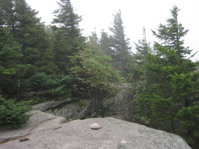
 A clearing at the top let me catch my breath. I rip-roared my way to this point, making fast time. Aerobically, I was pushing it.
 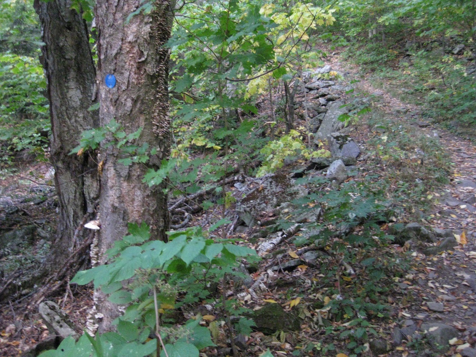 I made two miles in an hour andfound myself at the cabin and firetower an hour earlier than I expected. The climb was steep but the terrain not nearly as technical as the climb up neighboring Plateau and Twin via Devil's Path. A workout, maybe a run when my foot heals.
 |
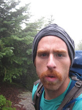
| On top of the mountain. |


